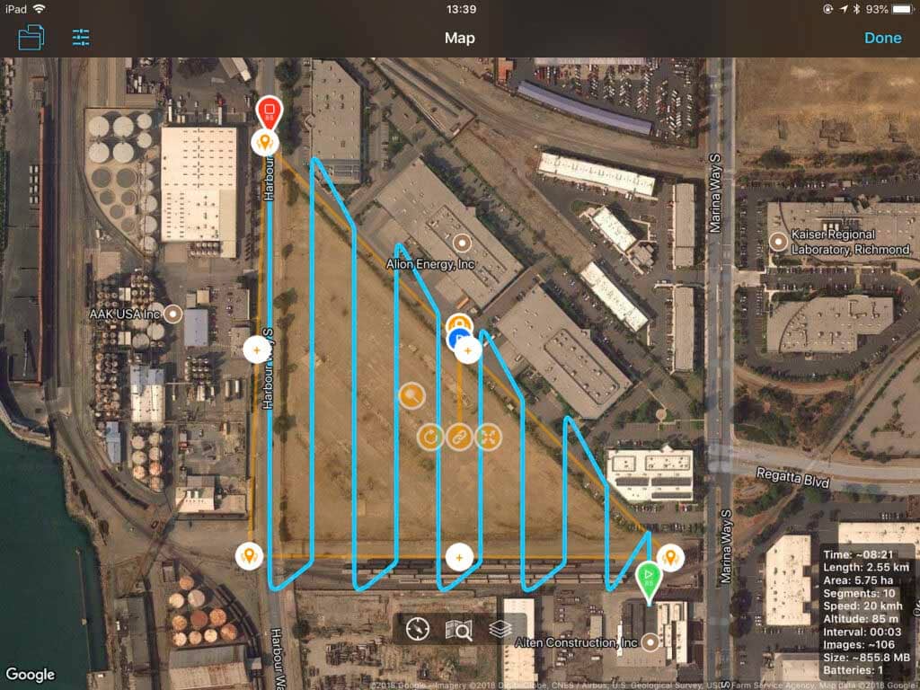
Lower Costs and Faster Results
Drone Panora Aerial Surveying & Mapping services help speed up and lower the cost of land surveying and mapping services with a high level of precision and accuracy. We can provide photographs to you or a land surveyor and partner with GeoWing Mapping which offer photogrammetry services to augment Maps, Orthomosaics, Topographic Surveys, and 3D Models to help lower costs and speed up service delivery. Our aerial photographs can be used to produce a wide variety of work products for detailed visual inspection of areas and mapping data in a variety of file formats suitable for import into GIS and/or CAD software.
Photogrammetry
Photogrammetry is the science of making measurements from photographs. The input to photogrammetry are photographs, and the output is typically a map, a drawing, a measurement, or a 3D model of some real-world object or scene.
Orthomosaics
Unlike an uncorrected aerial photograph, an orthophotograph can be used to measure true distances, because it is an accurate representation of the Earth’s surface, having been adjusted for topographic relief, lens distortion, and camera tilt.
Topographic Survey
A Topographic Survey is a survey that gathers data about the elevation of points on a piece of land and presents them as contour lines on a plot. The purpose of a topographic survey is to collect survey data about the natural and man-made features of the land, as well as its elevations.
3D Models
3D Models allow full virtual visualization of a site area or structure. 3D work products include Point Clouds, 3D Mesh Models, and more. 3D Models can be used for measurement or to superimpose CAD designs onto the current project site surroundings.